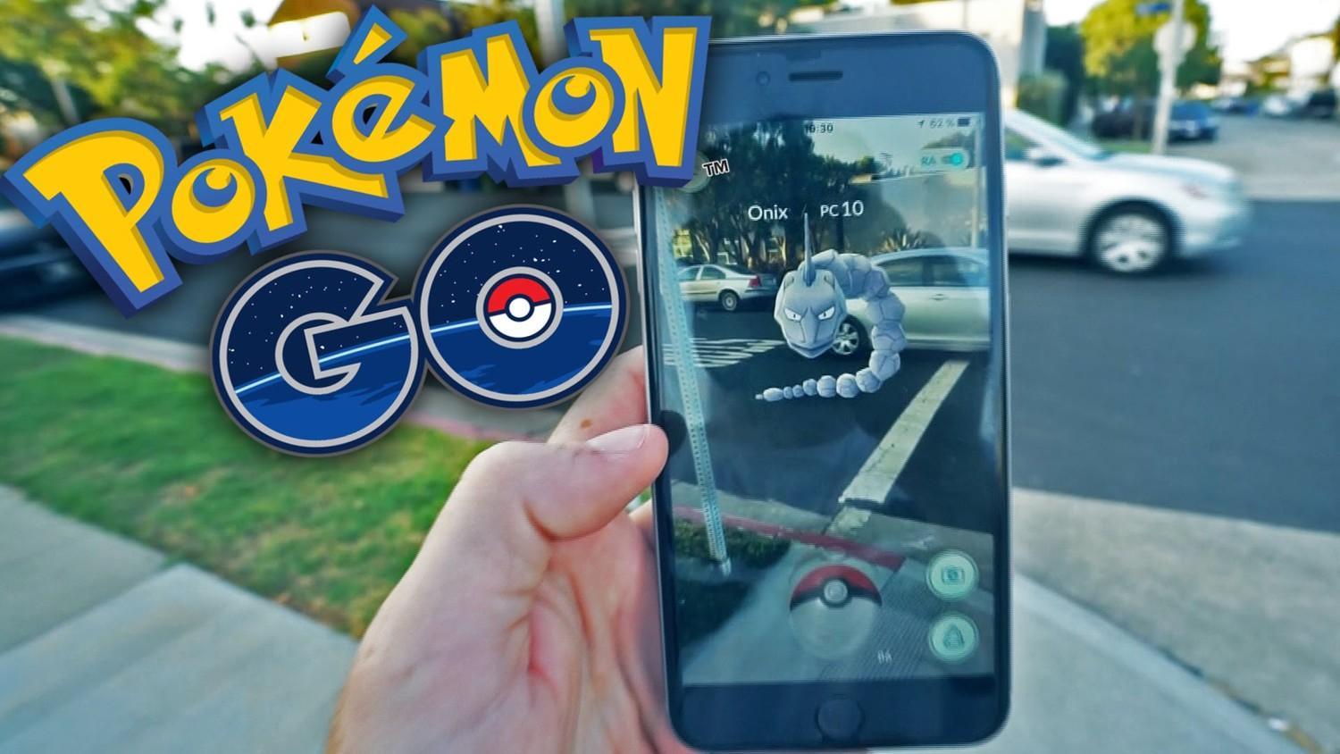
The main goal in Pokemon GO is to walk the streets and look for Pokemon in order to then catch them all. Fortunately, fans of the game have already created several special maps to help players figure out which Pokémon they can find in their neighborhoods and elsewhere.
There are many browser-based maps and map applications available today, many of which are the result of community collaboration.
Pokeradar
This iOS app is a player-filled map. The map includes icons of various Pokémon found throughout the country. There are type and time of day filters, as well as player ratings, so you can determine if you find a rare Pokémon or is it just a snag.
The app site is constantly dropping from the influx of users, but most of them speak well of PokeRadar. However, the application needs further improvements.
Pokemap
For Android owners, there is Pokemap, whose Pokémon location data comes straight from Google Maps. The map is populated in real time, showing the exact location of the Pokémon near you, gyms and PokéStops. Various filters are present.
Unfortunately, Pokemap has a tricky setup as it requires Python and a basic understanding of the code. If you do decide to do this, there is an instruction below the spoiler.
Pokevision
Then there is Pokevision, which runs in a browser and has similar, albeit less detailed, functions for finding Pokemon. Players can search for them in real time by re-scanning every 30 seconds.
The Pokevision FAQ says its data comes straight from Niantic, just like Pokemap does. Although the search function only provides a general location, without any specifics, players can scroll and zoom the map to see clear snapshots of the Pokémon currently found all over the world.


